Idaho State
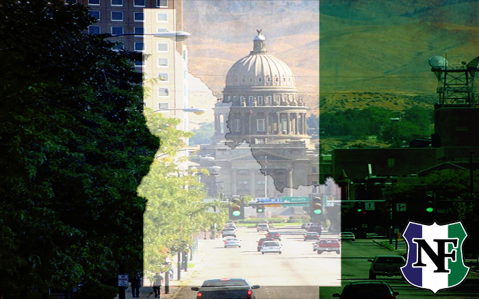
Idaho borders the state of Montana to the east and northeast, Wyoming to the east, Nevada and Utah to the south, and Washington and Oregon to the west.

Idaho borders the state of Montana to the east and northeast, Wyoming to the east, Nevada and Utah to the south, and Washington and Oregon to the west. To the north, it shares a small portion of the Canadian border with the province of British Columbia. With a population of approximately 1.8 million and an area of 83,570 square miles, Idaho is the 14th largest, the 13th least populous and the 7th least densely populated state.
 The state’s capital and largest city is Boise. Nature is a big draw for Boise, Idaho. The snow-capped Rocky Mountains serve as a breathtaking backdrop; the Boise River and its waterfront paths carve through the city; and outdoor activities like skiing, fishing, or snowshoeing are close at hand. But Boise is still a capital city with the dining, shopping, and culture to match. Top museums include the Idaho History Museum, the Boise Art Museum, the Basque Museum and Cultural Center, and the interactive Discovery Museum of Idaho.
In 2010 84 percent of the people were classified as White by government
statisticians, but it should be born in mind that the regimes demographers are operating off a political agenda, that the 2010 census was conducted by the Obama regime with a view towards legalizing illegal aliens in order to register them to vote and ensure perpetual power for the Democratic party, and that therefore the entire census is politically and methodologically suspect. Suffice it to say that the overwhelming percentage of the population of Idaho is still White and the non- Whites are concentrated mostly in Boise and a few other larger towns. Major industries are agriculture, timber, cattle, tourism, and some high-tech in the Boise
area. Not much mining any more, but some gold and phosphates. Manufacturing consists largely of processing and packing food products like potatoes that are grown in the state.


